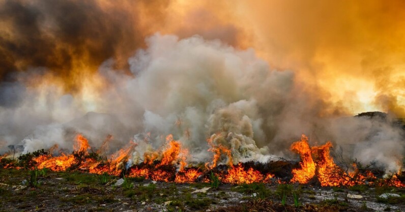
In recent weeks devastating wildfires have swept across Greece, Italy, Spain, and Portugal, causing several fatalities, the displacement of thousands of people, and widespread damage to infrastructure. More than 260,000 hectares of land across the EU has already burnt since January — an area the size of Luxembourg. Many fires are still raging across swathes of southern Europe and beyond. In response to the increasing threat of wildfires, the European Space Agency has released an upgraded version of its World Fire Atlas which harvests satellite data to track the blazes. Through the dashboard, users can compare the frequency of fires…
Read Entire Article