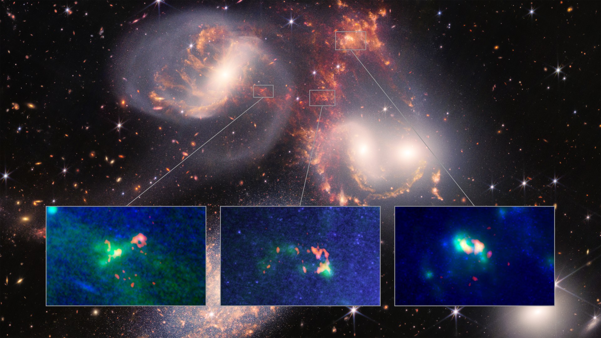
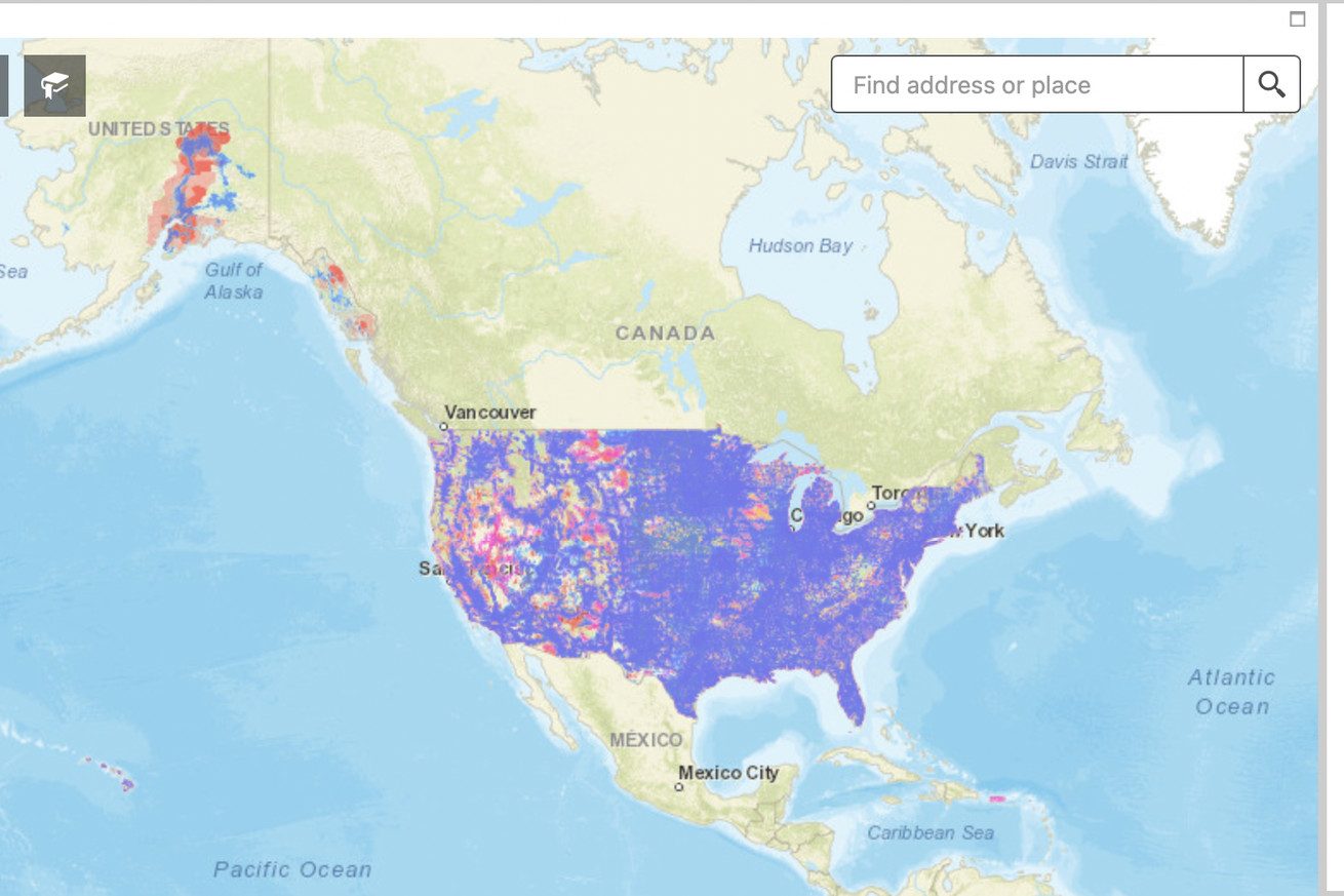
 Pictured: the FCC’s map of LTE coverage in the US. | Image: FCC
Cell network coverage maps have always been dubiously accurate in the US, and even the ones released by the FCC in 2021 come with a ton of asterisks. A company called Ranlytics is hoping to make a much more accurate picture by attaching equipment to some of the mail trucks that are already driving to most addresses in the US to deliver parcels and letters.